At UAV Survey WA, we provide tailored drone surveying and aerial mapping services across Perth and Western Australia. Whether you need precise aerial mapping, detailed asset inspections, or high-resolution aerial imagery, our CASA-certified drone pilots deliver efficient and safe data collection for your projects. Specialising in drone surveying, mapping and aerial data capture, we equip you with accurate insights to improve project planning, reduce risks, and support better decision-making.
Core Services with Provide
Aerial Mapping
Drone Inspections
Photography & Videography
Surveying Services
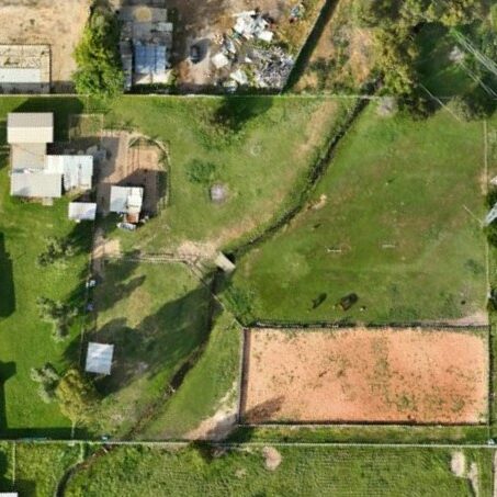
High accuracy aerial mapping and ortho-rectified imagery for engineering, mining, and construction projects.

Real-time aerial drone inspections. Allowing quick and safe inspection of hard-to-access or hazardous areas.
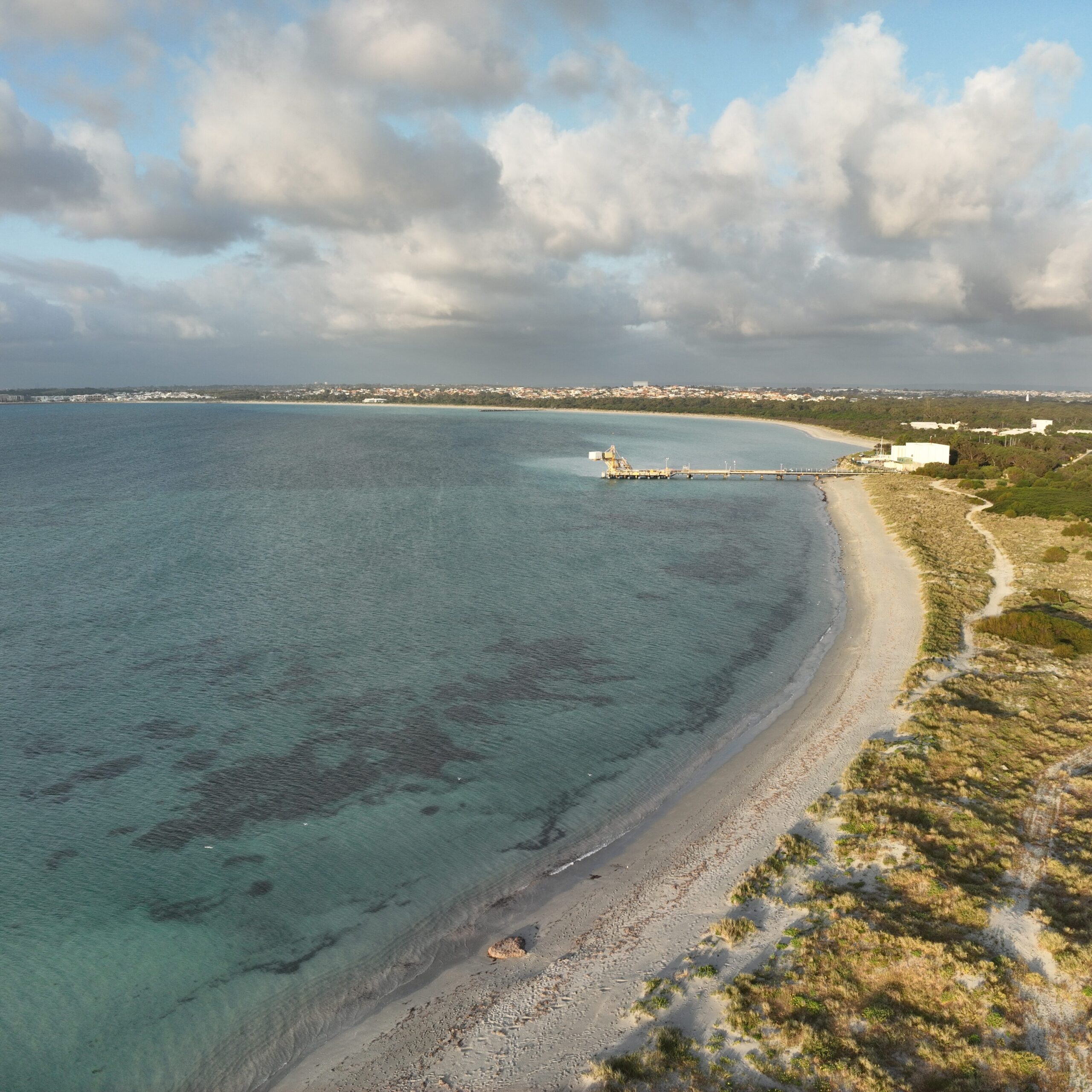
Stunning drone photography and videography for marketing, documentation, and media production across Perth.
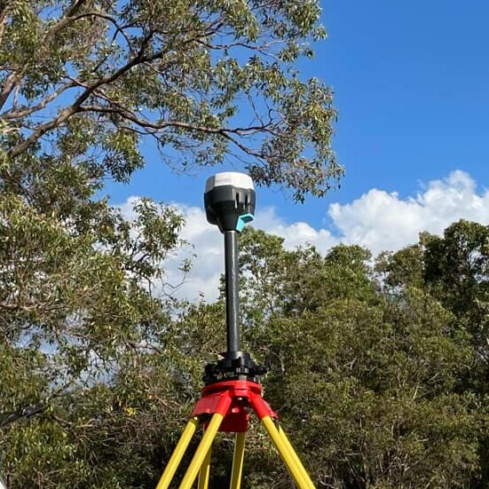
Construction setouts, as-built surveys, feature surveys, and more using high accuracy RTK.
Why Choose UAV Survey WA?
- Experienced Surveyors – Experienced surveyors with more than 1000 aerial mapping flights completed.
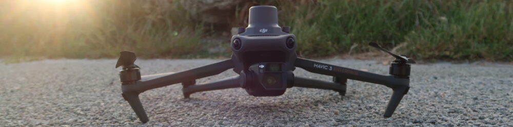
- Advanced Equipment – High-precision RTK drones and camera systems.
- Fast Turnaround – Streamlined post-processing and clear deliverables.
- Fully Insured & CASA Certified – Safety and compliance guaranteed.
FAQs
Our drone surveys capture high-resolution aerial imagery to produce centimetre-level accurate data for planning, design, and reporting. We ensure consistent, professional-quality results that clients can confidently use in their projects.
Project timelines depend on site size and deliverables. Many sites can be captured within a few hours, with processed outputs delivered within 2–3 business days.
Yes, we require permission to safely fly over and capture your site. We handle all CASA requirements and ensure operations are fully compliant with safety regulations.
Drone surveys complement traditional methods. They’re faster, safer, and ideal for capturing large or difficult-to-access areas. Data integrates easily into conventional survey workflows for planning, design, and reporting.
Yes. UAV Survey WA is CASA-certified and fully insured for commercial drone operations across Western Australia.
We provide orthomosaic maps, digital elevation and surface models (DTM/DSM), contour maps, 3D models, and stockpile/volume reports. All outputs are compatible with GIS and CAD software for easy integration.
Yes. While we are based in Perth, we provide aerial surveying services across Western Australia. Travel fees may apply for remote locations, which we will confirm in your quote.