UAV Survey WA can provide a range of Surveying Services
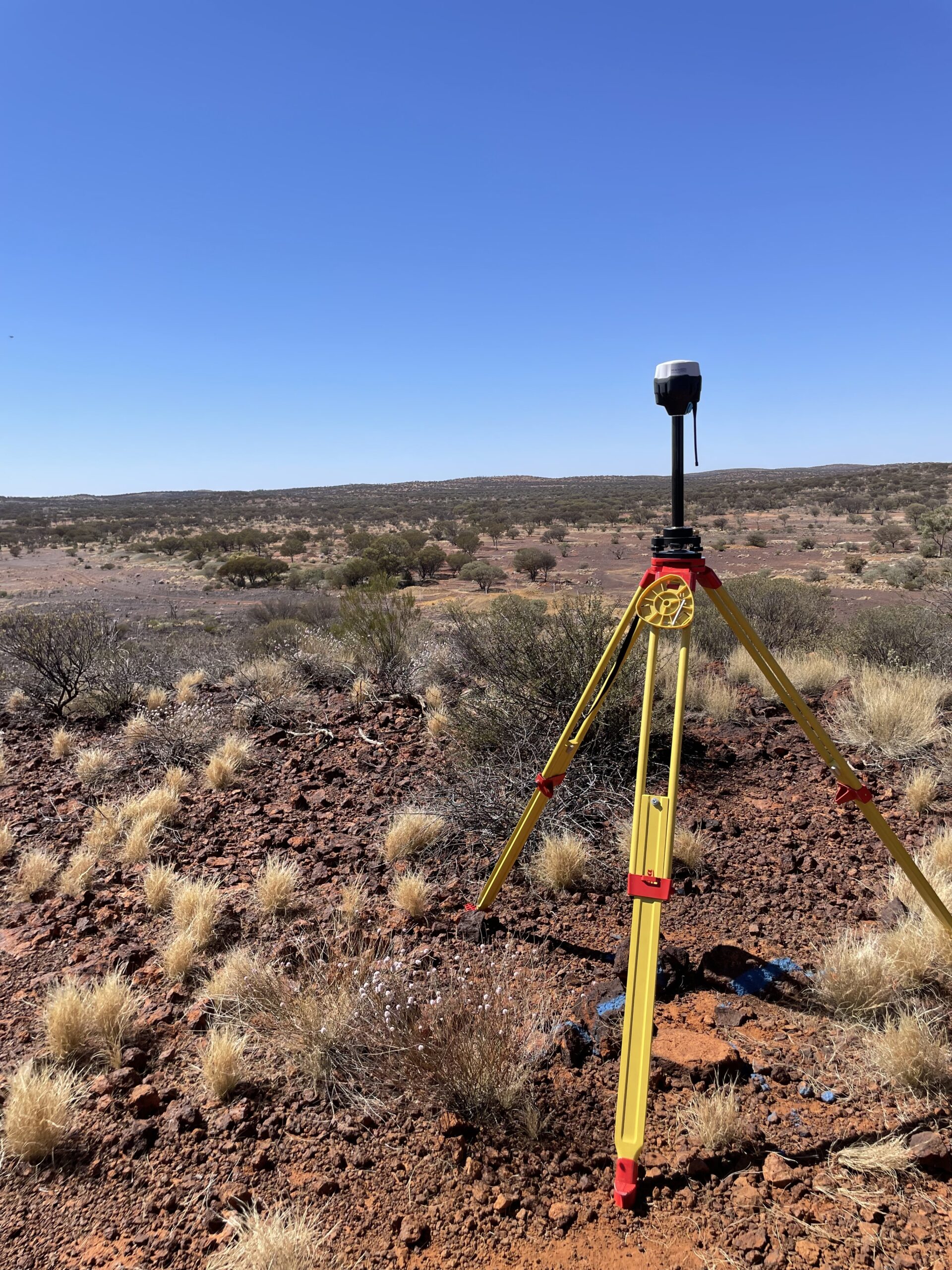
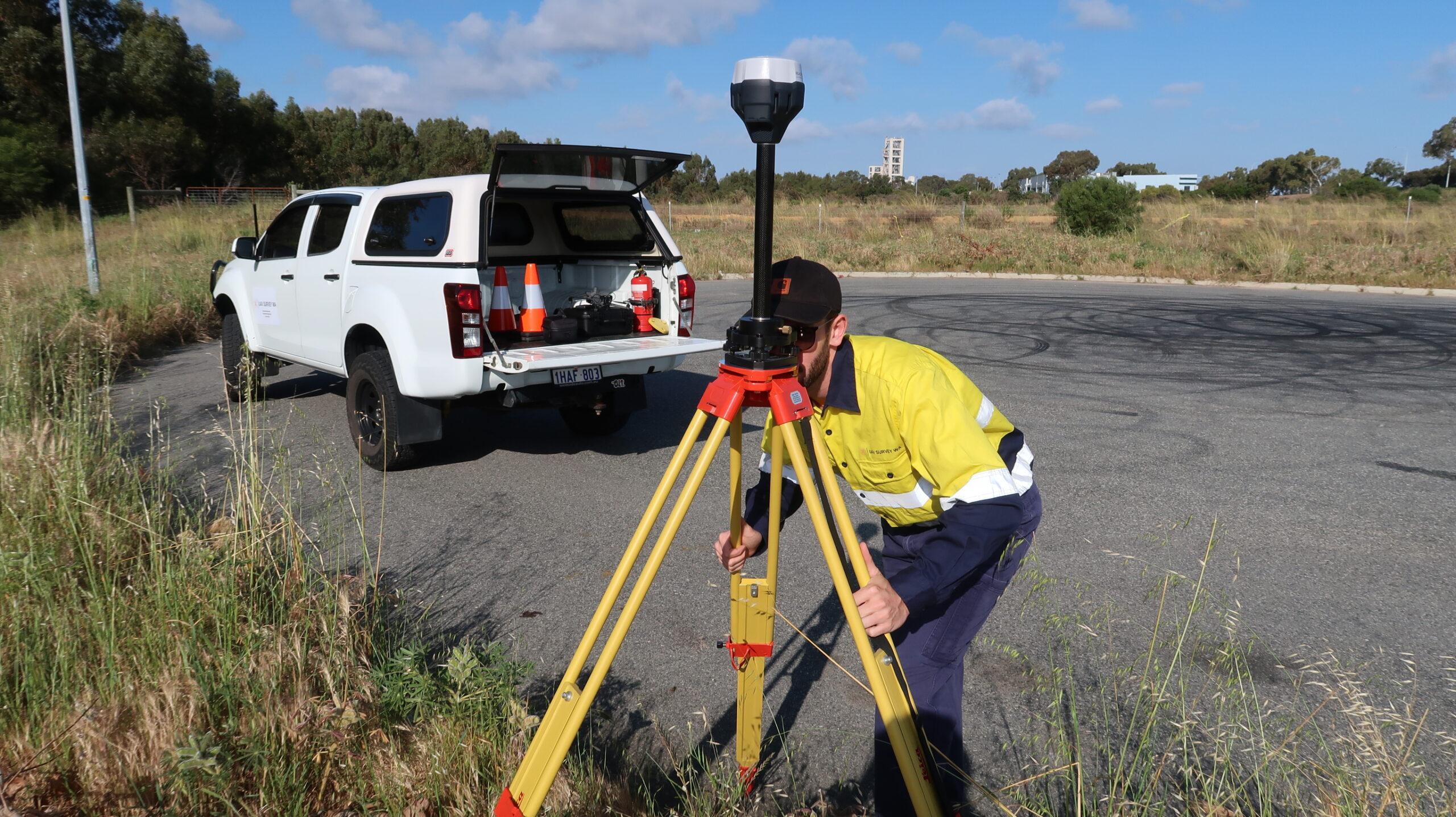
At UAV Survey WA, we provide a wide range of surveying services across Perth tailored to suit your project’s needs. Using advanced GNSS technology and industry know-how, our team of experienced surveyors ensure you get accurate and dependable results for any type of project:
Construction Setout
Our construction setout services ensure your project is constructed exactly as intended. We provide precise on-site setout and references so everything is positioned correctly right from the start. This helps avoid mistakes and keeps the project moving smoothly, saving time and costs.
As-Built Surveys
Once construction is finished, our as-built surveys document the completed project and can be used for design conference and regulatory checks. GPS as built surveys can be conducted alongside aerial surveying techniques to capture a complete picture of even the most complex projects.
Feature Surveys
Feature surveys map out everything on your site. From buildings and trees to utilities and natural landforms. Whether you’re planning an urban development, or a subdivision, our feature surveys provide data to assist your project. Aerial imagery and 3D models can also be used in conjunction with feature surveys to create a complete picture of your project.